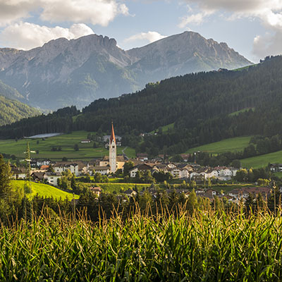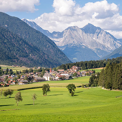
Trekking in the Dolomites of Plan de Corones
Summer time in Plan de Corones in the Dolomites means a nearly infinite choice of different excursions and hiking tours. Alpine trekking tours with great altitude difference, or relaxed hiking tours with the whole family: all together show incredible surroundings of the Val Pusteria, breathtaking at every step, the hospitality of the huts owner and the taste of true freedom. Here you can find a small range of trekking tours among the Dolomites of Plan de Corones:
-
Calcareous and karst formations, Capanna Alpina-Fanes-Pederü
from 8 am to 5 pm, walking time between 5 and 6 hoursRoute: From Capanna Alpina (1,726 m), steep gradient up to Col de Locia (2,069 m). Walking past the alpine hut Malga Fanes Grande, you reach the Passo di Limo mountain pass (2,172 m) and go in the direction of the alpine hut Malga Fanes Piccola (2,060 m). Lunch break. Return route at Pederü (1,545 m), and take the local bus back to S. Vigilio.
The Dolomites spread all the way to the wide and legendary Fanes Plateau. The wind and the atmospheric weather form the landscape. Ice water with its immense power splits rocks up to the point where they crack or break apart. Rain and snow are responsible for a multi-shaped karst landscape. The folds of the Parom mountain crest reveal the real power and force of the movements, which were also responsible for the formation of the Alps.
Info c/o Apt San Vigilio di Marebbe -
Tour for children
from 8.30 am to 5 pm, walking time from 3 to 4 hoursRoute: From Pederü (1,545 m) to the Fanes Plateau (2,000 m), to the Marmots Parliament and the same way back again.
We will listen to singing birds and chirping crickets, we will follow the odour of flowers and herbs, we will touch tree bark, pine-needles and white rocks. In the evening then, sitting in a circle in the shade of beautiful trees, we will listen to old stories of the lost Fanes Empire....
Info c/o Apt San Vigilio di Marebbe -
Senes - Lé de Fosses
from 8 am to 5 pm, walking time from 5 to 6 hoursRoute: From Pederü (1,454 m you walk up to the Fodera Vedla mountain hut (1,980 m), walk across the Senes plateau until you reach the Rifugio Biella mountain hut (2,327 m.). From here, down a gentle slope and after about half an hour you will reach Lé de Fosses.
Lé de Fosses is an amazingly romantic and legendary place. A lot of marmots still live in this peaceful and quiet corner and during summer months cows graze peacefully.
Info c/o Apt San Vigilio di Marebbe -
Get to know S. Vigilio
departure at 10 amRoute: Easy routes in order to discover and admire the various beauties, history and curiosities of the village.
Info c/o Apt San Vigilio di Marebbe -
Roda dles "Viles"
from 9 am to 1 pm, walking time 3 hoursRoute: From Pieve di Marebbe "Viles" di Brach, Ciaseles, Frontü, Biei, Fordora, Frena, La Costa and Cianoré can be reached and the circle is finished off again at Pieve.
An easy, but very interesting route that includes sightseeing of wonderful landscape and typical architecture of these characteristic ladin "Viles".
Info c/o Apt San Vigilio di Marebbe -
Water games: Le dla Creda - Ciastlins
from 8.30 am to 5 pm, walking time from 4 to 5 hoursRoute: Starting from Lé dla Creda (1,258 m), you can climb up to the hunters hut, Ciastlins, by way of a steep ravine surrounded by tree covered hills. Follow the route up to the Ciastlines mountain pass. The return route is the same.
The water of the Crippes route left deep grooves in the ground and as a result of this, created a ravine. Pine trees grow predominantly on these steep hills. Where the water came to meet especially tough ground, waterfalls were formed. Part of the water disappears into the lime rocks and continues its path underground. Before reaching the hunters hut Ciastlines you will pass the Crippes sources.
Info c/o Apt San Vigilio di Marebbe -
The olden days: Pederü-Fodara Vedla-Sass dla Para-Pederü
from 8.30 am to 5 pm, walking time from 5 to 6 hoursRoute: Startin from Federa (1,545 m) you head along towards the direction of Fodara Vedla (1,980 m). After reaching this point turn to the right in order to reach the Sass dla Para Peak (2,462 m) on quite a steep path. To return to Pederü, take the same route back again.
A long time ago farmers had looked for an access route to the vast Senes and Fosses plateaus. Thanks to numerous mountain huts the Fodara Vedla area is still used as pasture grounds. Many people live and fulfil moments of harmony and relaxation at this place. Our aim is to reach Sass dla Para. Once you enjoy the splendid view of the Ampezzo Dolomites (Cristallo, Sorapis, Tofane) that you have from Croda Rossa you will soon forget all the hardship of walking.
Info c/o Apt San Vigilio di Marebbe -
In the animals empire: S. Vigilio-Fojedöra-Lago di Braies Lake
from 8 am to 6 pm, walking time 7 hoursRoute: From S. Vigilio (1,201 m) you will reach Giogo della Croce when crossing the tight and forest-like Fofedöra Valley. Stay on this path until you arrive at the Colli Alti Lakes and then follow the river until you reach the Calli Alti huts (2,121 m). Return route to the Lago di Braies Lake (1,494 m) across the Foresta Valley. Return to S. Vigilio by bus.
This excursion brings us to the wide pastures of the Braies Dolomites. Numerous animals of different species have found the ideal living conditions in this area. Walkers will often see chamoises (type of deer), who are able to run across steep rocks, corries and stones. Chamoises are usually seen in groups, they rarely remain on their own. The marmots proclaim their presence through shrill whistles in order to warn their companions of upcoming danger.
Info c/o Apt San Vigilio di Marebbe -
In moon light: Pederü-Fanes-Lé de Limo; or Fodara-Senes-Pederü
from 3.30 pm to 11 pm, walking time from 3 to 4 hoursRoute: From Pederü (1,545 m) up to Alpe di Fanes and to Lé de Limo (2,159 m) or from Pederü in the direction of Fodora Vedla and Senes (2,126 m).
"In a night brightened by moon light the wings of the wind hug the tree tops." At night time, when sun and moon exchange their place a secret landscape from ancient times appears.
Info c/o Apt San Vigilio di Marebbe -
On the bears traces: Fanes-Conturines
from 8 am to 6 pm, walking time 6 hoursRoute: From Capanna Alpina (1,726 m) in directionn of the Malga di Fanes hut (route n° 11). After about 4 hours of walking through an area withouth paths and walking through scree you reach the cave (2,800 m).
In 1987 a grotto, with the skeleton of a cave-bear was found by an excursionist when walking through the Conturines area. This was the only discovery of this type in the Dolomites.
The cave-bear (Ursus spelaeus) became extinct 11,000 year ago at the end of the last ice age. It lived off a vegetable diet in particular. This gives evidence of a milder climate, as a result of which the edge of the woods moved to greater heights.
Info c/o Apt San Vigilio di Marebbe -
Faunlike excursion for early birds
departure at 6 amRoute: Easy route in order to discover and observe miracles of the fauna in the fascinating surroundings of the natural park and experiencing unforgettable emotion. Info c/o Apt San Vigilio di Marebbe.
Since the number of participants is limited, it is necessary to sign up at the Tourist Office by 6 p.m. on the evening before the excursion.
Subscription fee: from 3.00 to 8.00 Euro per person exclusive of travel expenses. Subscription fees vary depending on the length and difficulty of the excursion and will be communicated at the Tourist Office. -
Excursion Brunico and Riscone
S. Giorgio - Kofler - Monte Sommo (2,396 m), walking time 4-5 hoursRoute N° 66
From S. Giorgio follow route n° 66 up to restaurant Kofler, 1,487 m.
Continue your walk through alpine fields and through forests up to Stockpafarrer and then follow the mountain ridge up to the cross, 2,296 m. -
Brunico - Villa S. Caterina - Ameto (1,260 m) (also suitable for a tour on the mountain-bike)
Walking time about 3 hoursRoute N° 2 and 5
Comfortable walk on flat ground along the road towards Teodone and Villa S. Caterina as far as the Söll a Villa house. At S. Caterina turn to the right and go slightly in the direction of "Bärental" (up to this point route n° 2). After a 30 minute march you will reach a fork on the route: take route n° 5 to the right and from here uphill to the Amaten Hotel, 1,260 m. -
Brunico - Valle di Vila - Plata (1,413 m)
Walking time about 4 hoursRoute N° 1/A
After the military barracks at the east end of the city turn to the left and follow route n° 1/a in an east early direction. Uphill through fields and forests cross the Vila di Sopra road and continue on towards Valle di Vila Valley. Then cross the river and head steeply uphill through the forest up to Plata, 1,413 m. -
Riscone - Haidenberg - Riscone (1,345 m)
Walking time about 3.5 hoursRoute SB (blue-white), 4, 12 (red-white)
Departure at the Plan de Corones cable cars valley station in Riscone; follow route SB (blue-white) on the left and walk uphill. You will pass the Korer and Oberwelliser farms and reach the road (route 4 and 12), which brings you directly to the Haidenberg guesthouse. You have the choice between walking on a marked path (steep!) or on the forest road. (Haidenberg Guesthouse-ideal for a break!). On the return route walk on the forest road to begin with until you reach a fork (route SB - blue-white) from where you can then reach Santo Stefano Village by walking along a manor road. In order to return to Riscone walk on the footpath along the road. -
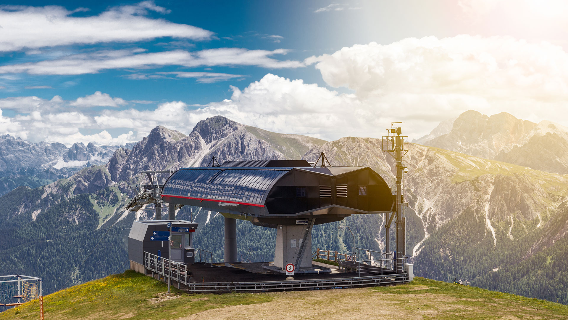
Excursion to Plan de Corones (Brunico), 1,700 m or 2,275 m (peak)
Walking time about 2 hours uphill to the cable car`s middle station; walking time up to the peak approx. 4 hoursRoute n° 1,8,4
Firstly, coming from Riscone follow the road that leads to "Herrnegg" parking. From here walk uphill following the so called "pista di slittino" (toboggan run, route n° 1) up to the Bergfreundehütte hut, which is ideal for a break. From here follow the forest road to the middle station. It is your decision whether to return to Riscone in a cable car (only in July and August) or to walk down past the Haidenberg Guesthouse and S. Stefano. For you who are still in good shape, you should not miss the opportunity to enjoy the fantastic view from the Plan de Corones Peak. -
Plata - Pyramids (Perca)
Option 1
Walking time about 50 min.
Departure is from Schönblick Hotel; uphill on a steep path - follow the asphalt road in the direction of Höller farm and then turn right towards the pyramids.
Option 2
Walking time about 60 min.
Departure is from Vila di Sopra-Plata, on the right hand side of the Plata hut there is a big car park - on the left hand side there`s a marked path through the forest all the way up to the Pyramids (1,550 m) - return to the point of departure. -
Perca - Sports zone - Vila di Sotto
Walking time about 45 min.Departure is from the footpath beside the Church - straight on to the footpath tunnel - follow the manor path to the river banks and then turn to the left - sports zone - follow the asphalt road to Vila di Sotto - at the chapel turn left - return to the point of departure.
-
Plata-Pyramids-Redensberger hut -Nalle Mountain -Gonner hut - Plata (Perca)
Walking time about 6 hoursRoute n° 4, 4a e 6
Plata (1,413 m) up to the Pyramids - route 4a until you reach Fledensberg hut - Monte Nalle mountain (2,231 m, route 4) - Return route at Gönner hut (route 6) - return to the point of departure. -
Montassilone - Cima Specola Peak -Bel Colle - "Auf der Geige" -Montassilone (Perca)
Walking time about 5-6 hoursRoute n°3 e 7
From Montassilone (1,470 m) go along paths n° 3 and 7 to Cima Specola Peak, then follow on in the direction of Bel Colle (2,452 m) when passing the Montassilone hut you reach the panoramic point "Auf der Geige" (2,175 m). A wide panoramic view awaits you at this point: the pastures of the Vila and Riomolino Valleys, 3,000 m high mountains of the Vedrette di Ries Group and further away the Tauri, the Alps of the Zillertal and Ötztal Valleys; from here return to the valley.
Pay attention to the routes! -
Vila di Sopra (1,394 m) - Valle di Vila - ex Lago di Landa Lake(2,213 m) and back (Perca)
Walking time about 5-6 hoursRoute n° 1
Point of departure and arrival for this excursion is Vila di Sopra, which can be reached by car from Perca (7 km). This village is ideal for excursions and also offers possibilities of resting. From Vila di Sopra follow the manor path closed to traffic (n° 1), which leads through the foresty Vila Valley. Follow the river to the Lercher hut (1,670 m), walk up to the Landa di Sotto hut (1,883 m) and then continue walking until you reach the Landa di Sopra hut (2,089 m). At this point follow path n°1 all the way up to the former Landa Lake, which is now a vast marshy pasture. The "Piano di Sotto" marsh is a protected biotope. From here return again to Vila di Sopra.
It may also interest you: